


Code: 56271
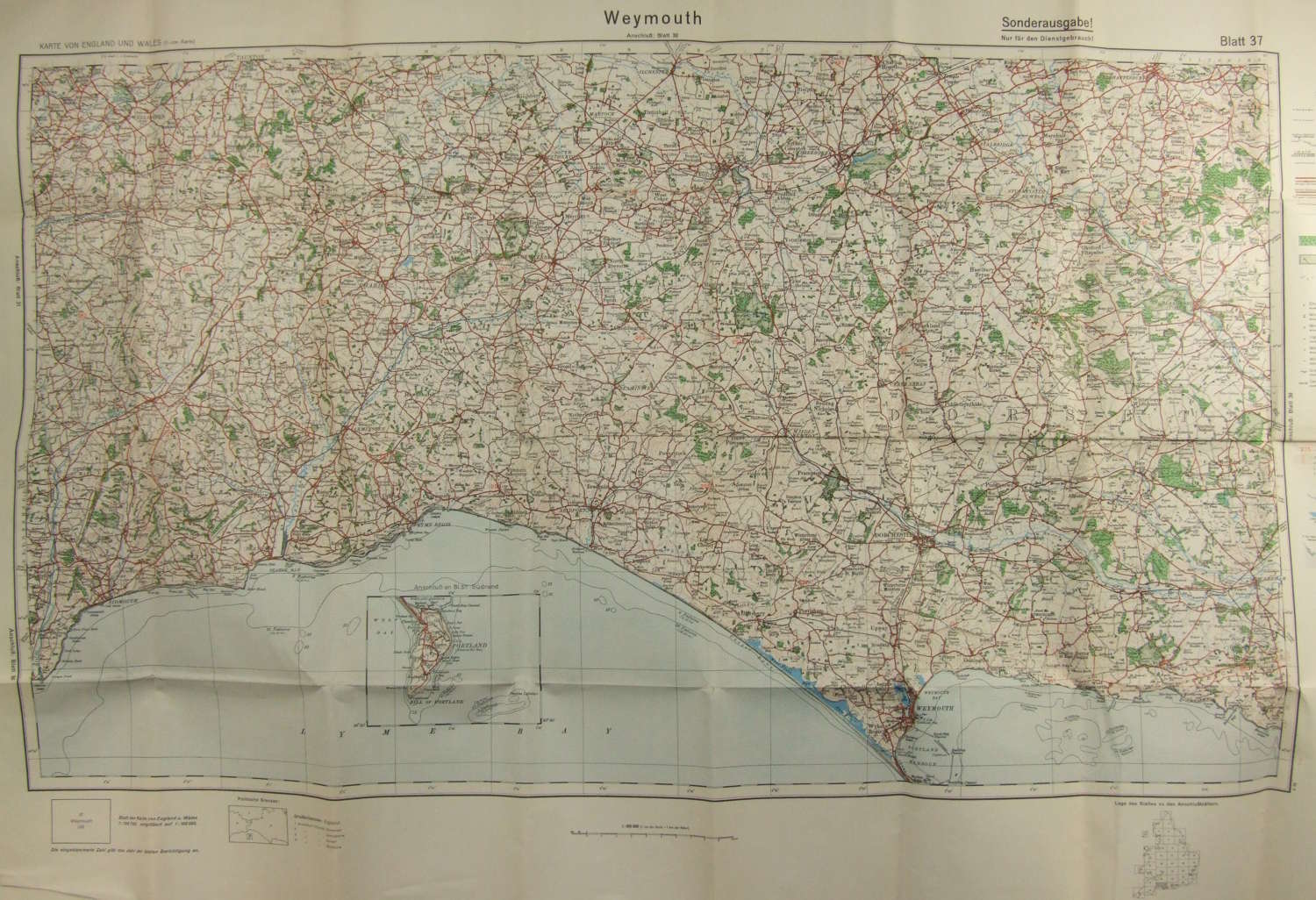
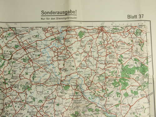
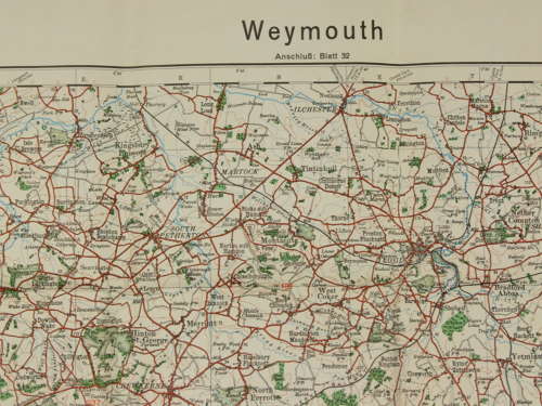
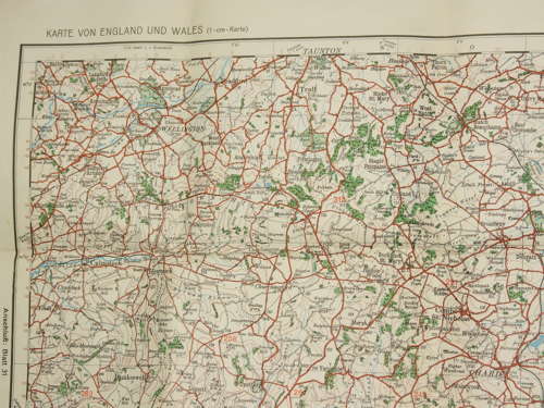
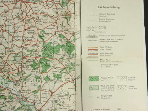
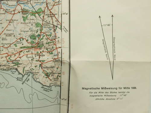
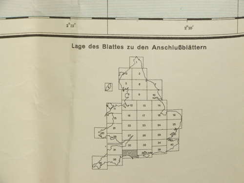
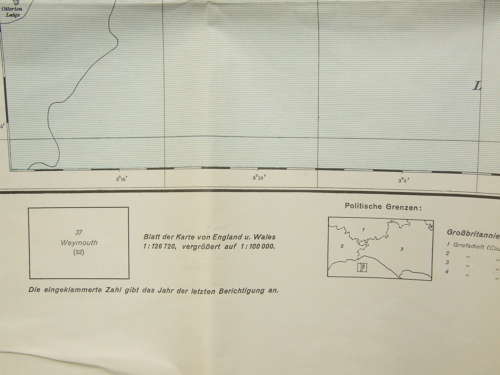
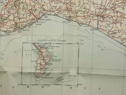
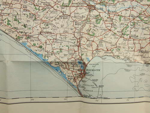
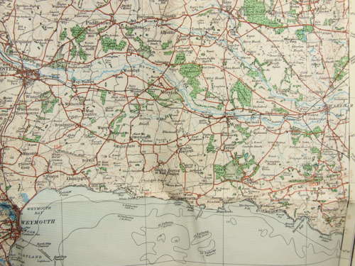
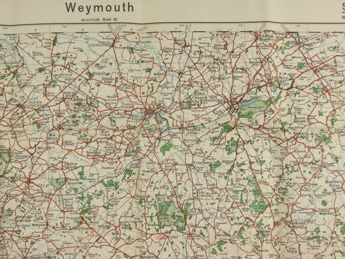
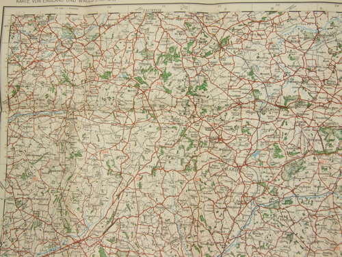
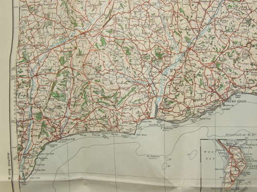
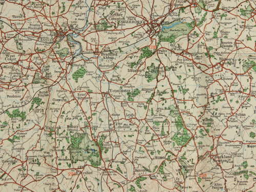
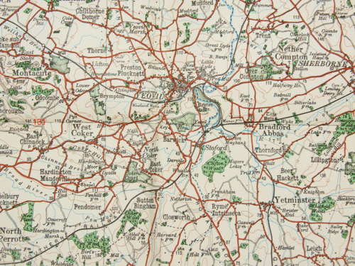
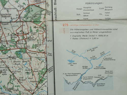
A German Map which was part of the “Sonderausgabe!” or “Special Editions” published between 1937 and 1940. This is sheet 37 entitled Weymouth and covers the area roughly from Sidmouth in the West to Wareham in the East and North to Shaftesbury and Taunton in the North. Although undated it shows magnetic variation for 1938.
Measuring roughly 100cms x 66cms the map is in very good undamaged multi folded condition.
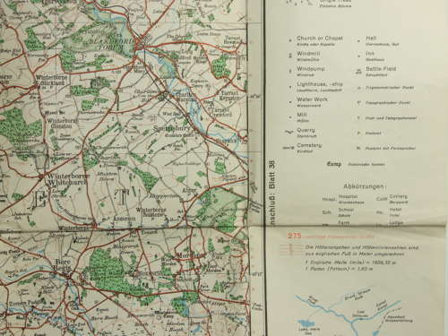
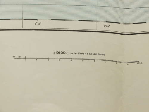
These were copies of the Ordnance Survey half-inch maps, scaled up to 1:100.000 to put them in line with standard German maps issued to their military. As well as upscaling the maps, translations were made of key locations and features. It is interesting to observe the conversion that has been made from the Imperial measurements of the original OS maps to the metric measurements used in Germany.
In order to prevent wastage of paper and effort, the series also removed the overlaps found in the OS series and reduced the sea coverage.
