Simon Lannoy |
Email: lannoysimon1@gmail.com Web site: https://www.themilitariadealers.com/ |
|
Code: 56058
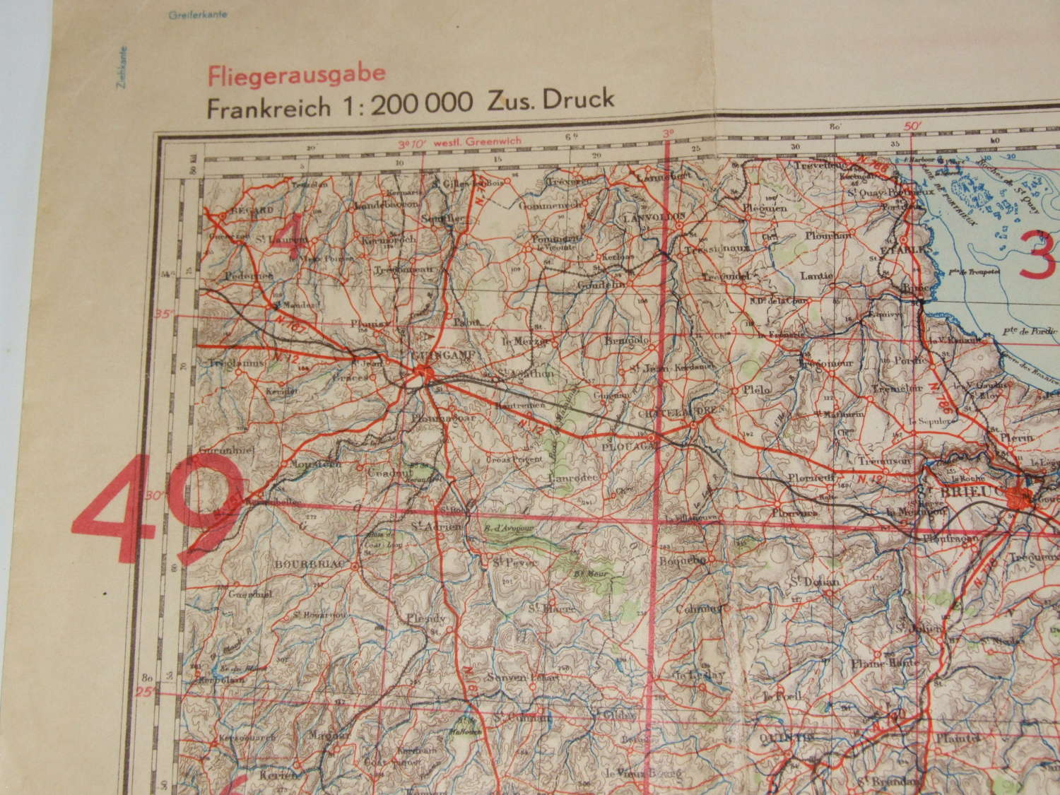
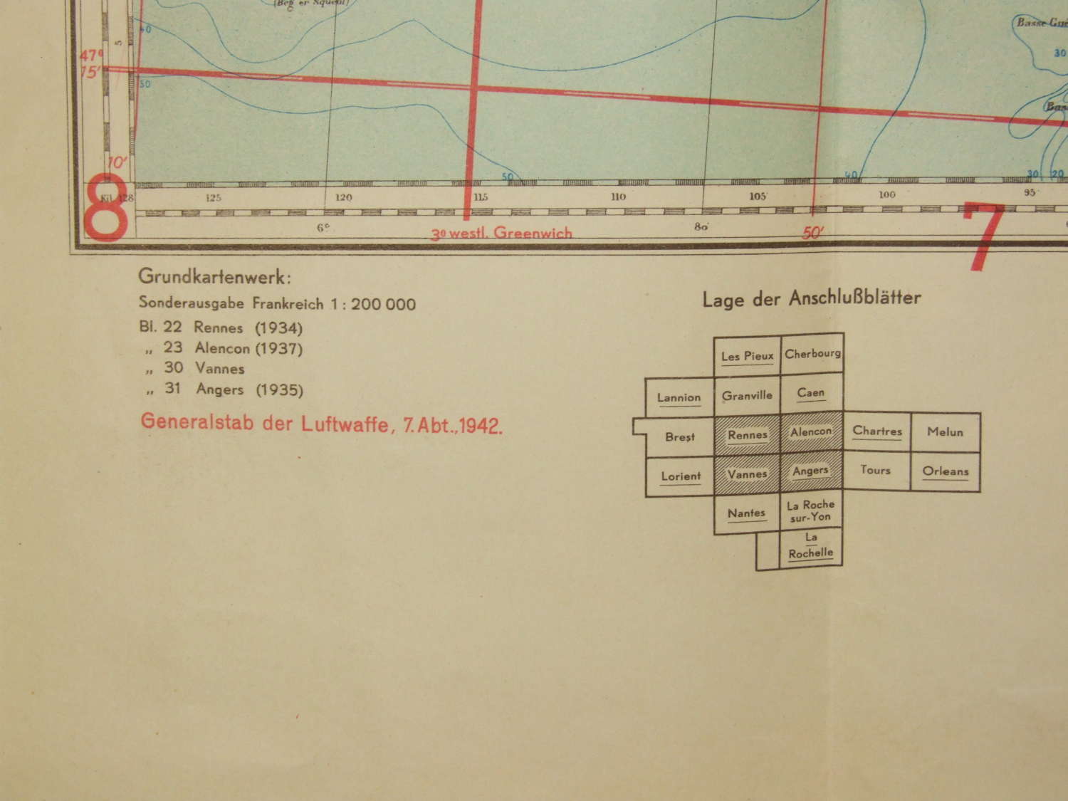
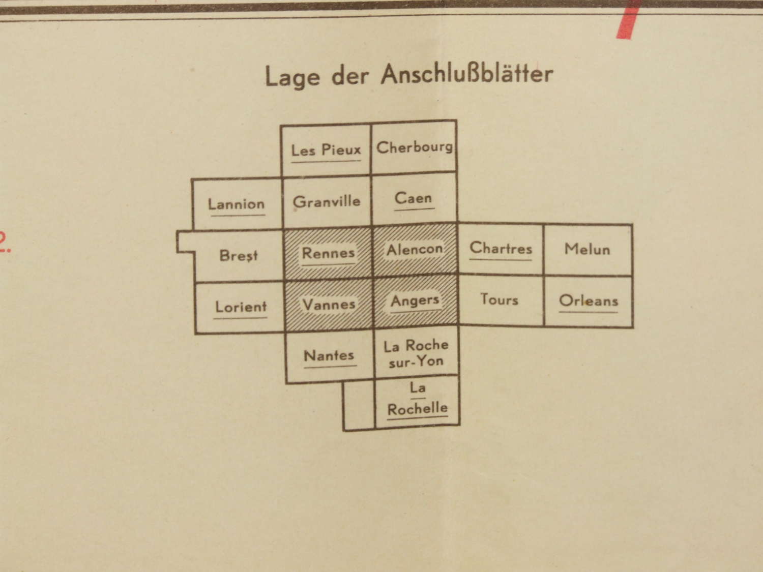
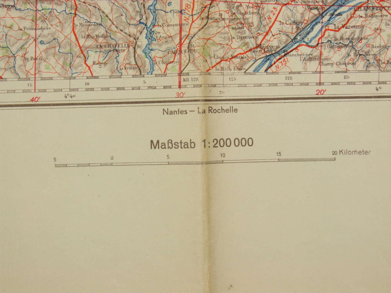
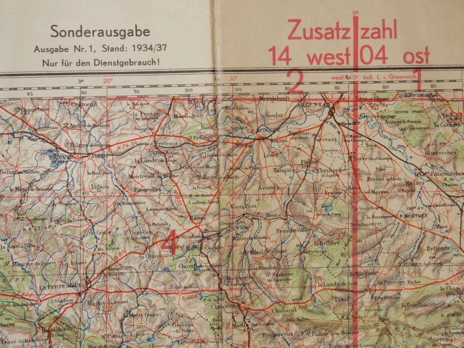
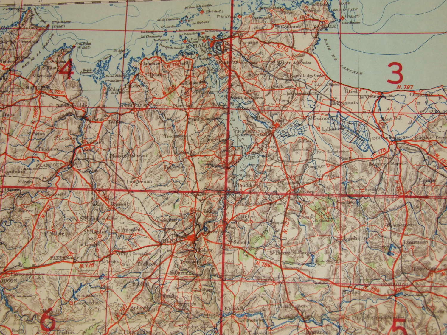
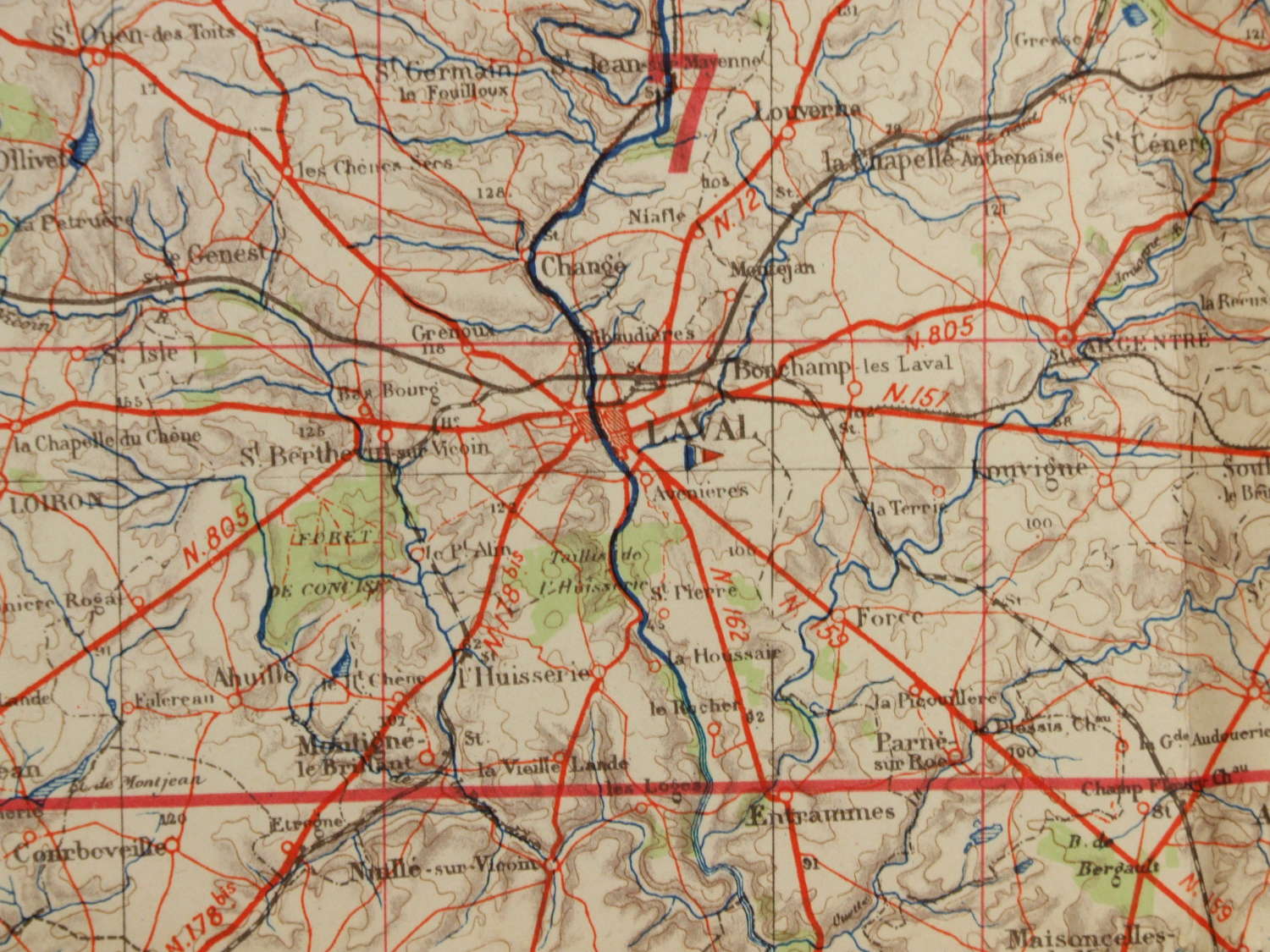
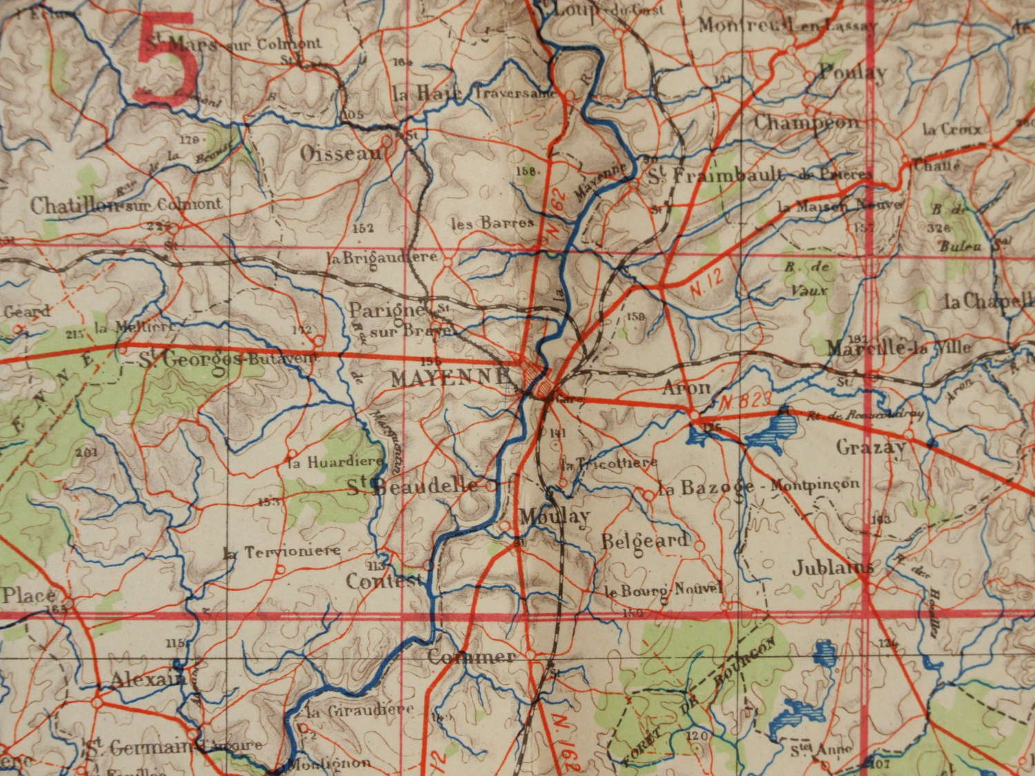
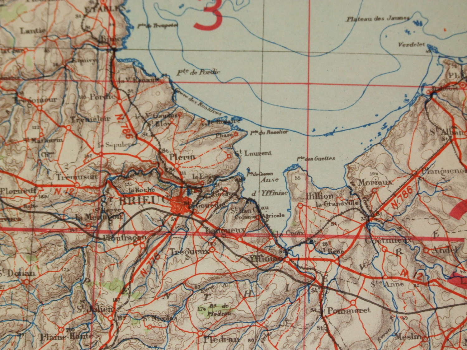
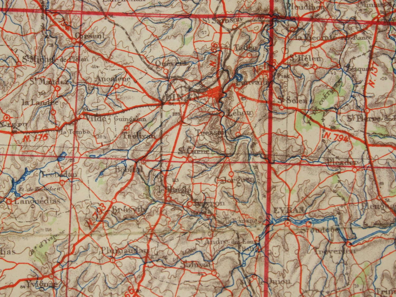
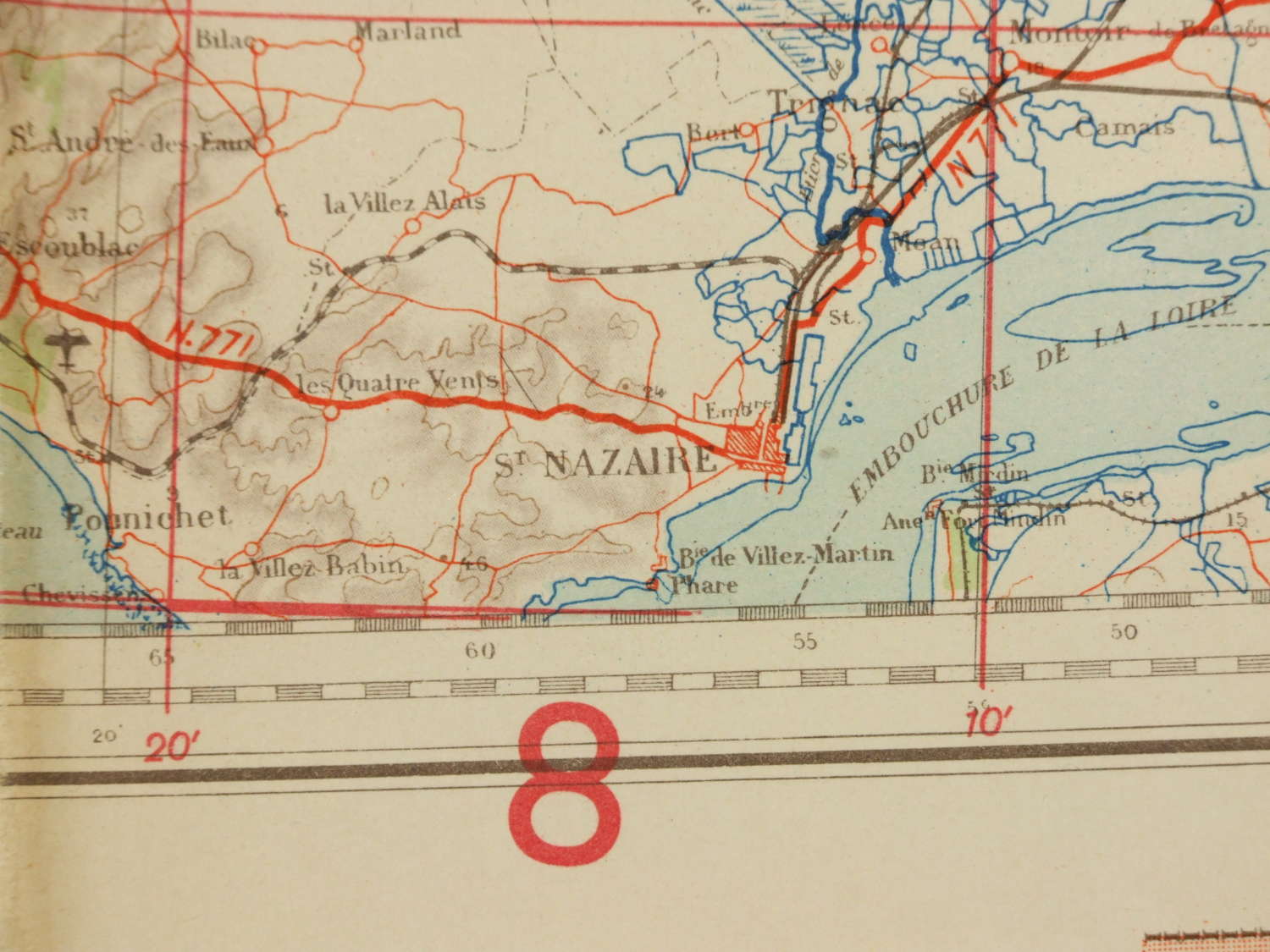
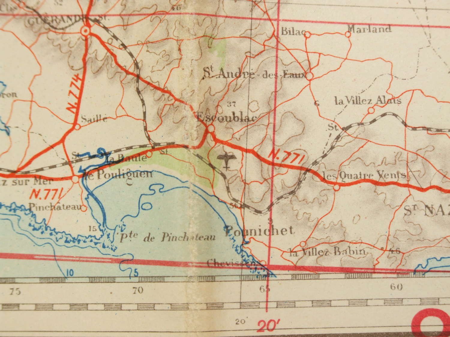
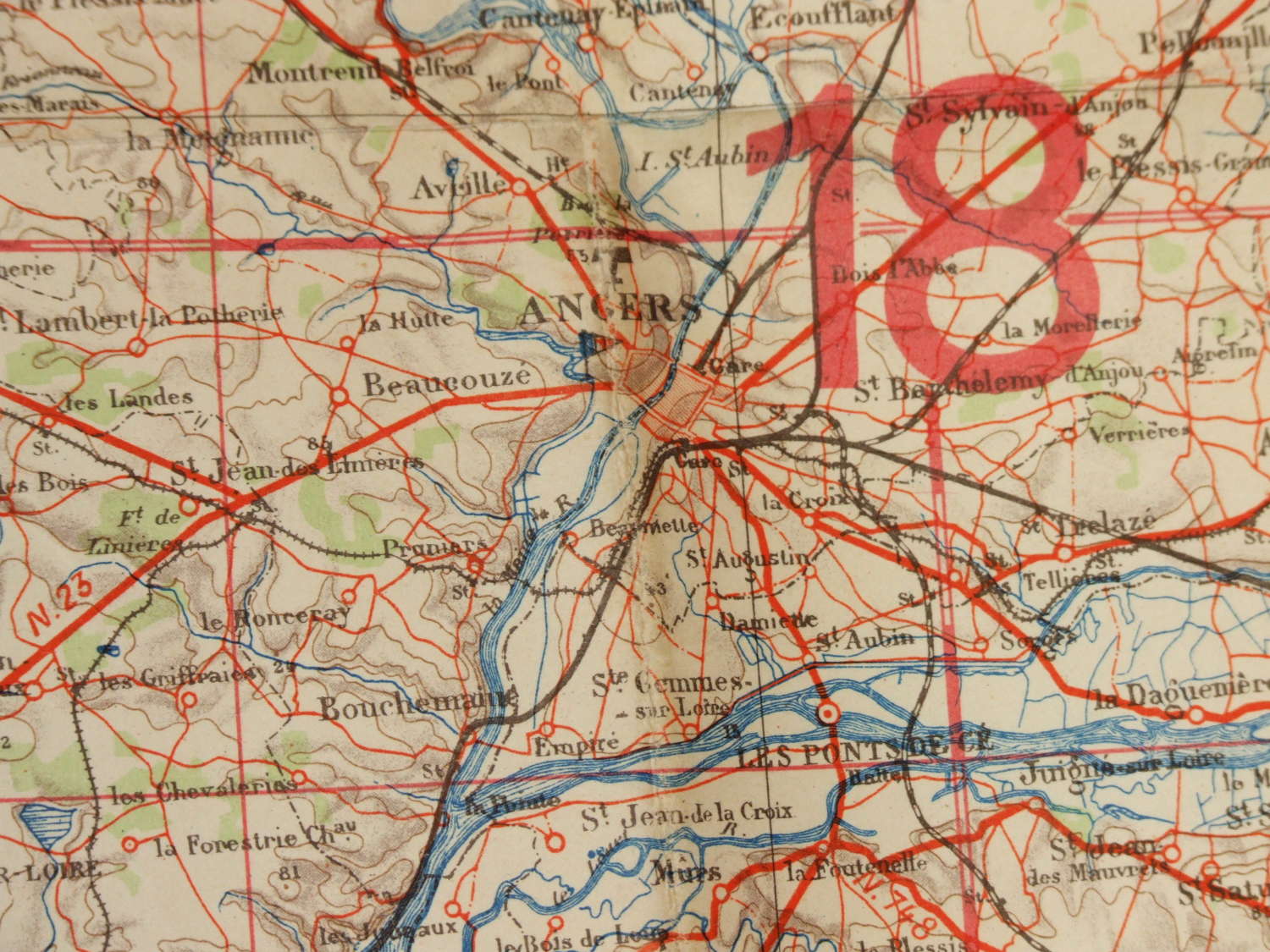
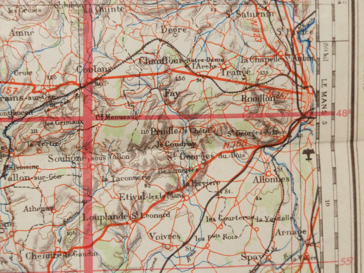
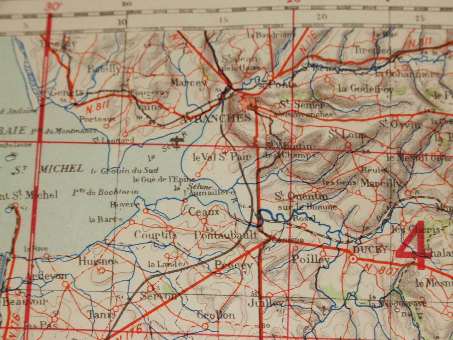
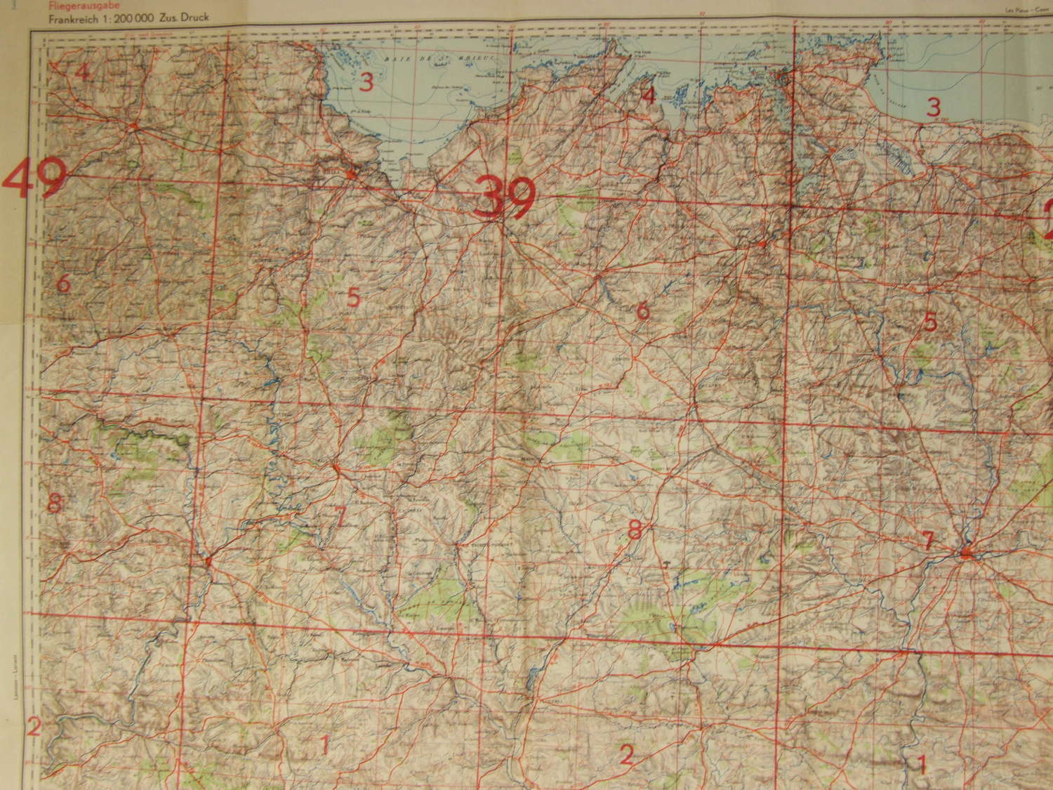
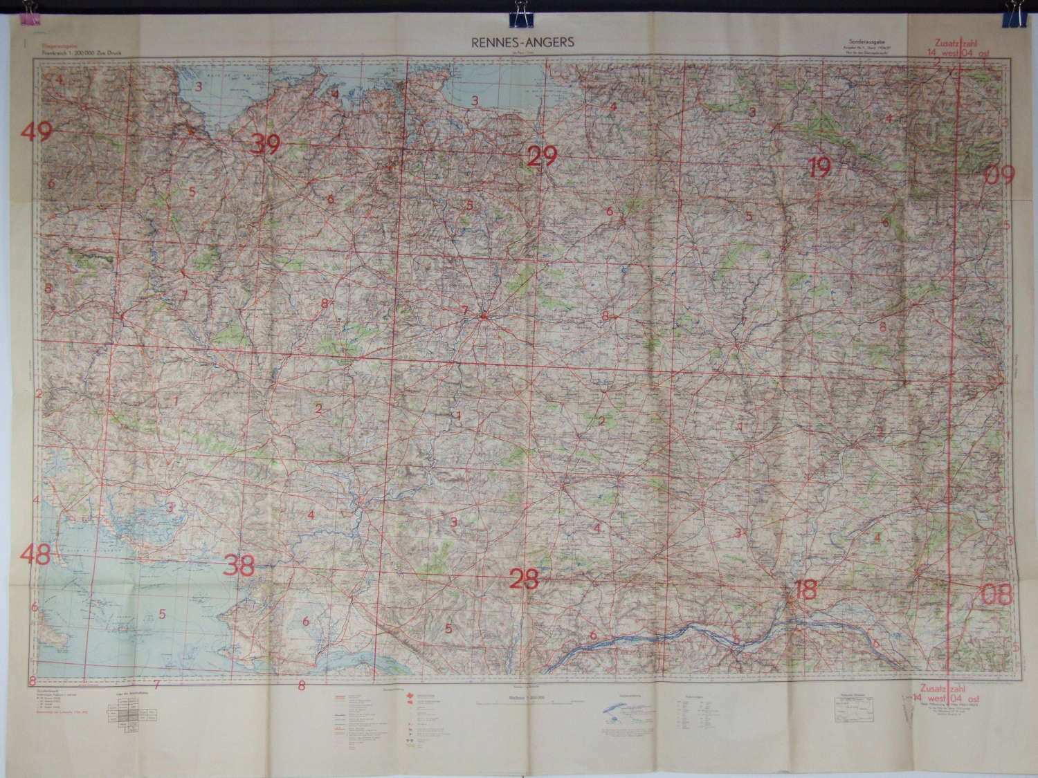
A large size Luftwaffe Map measuring approximately 135cms x 100 cms, headed Fliegerausgarbe (Flyer’s Edition) and Rennes – Angers.
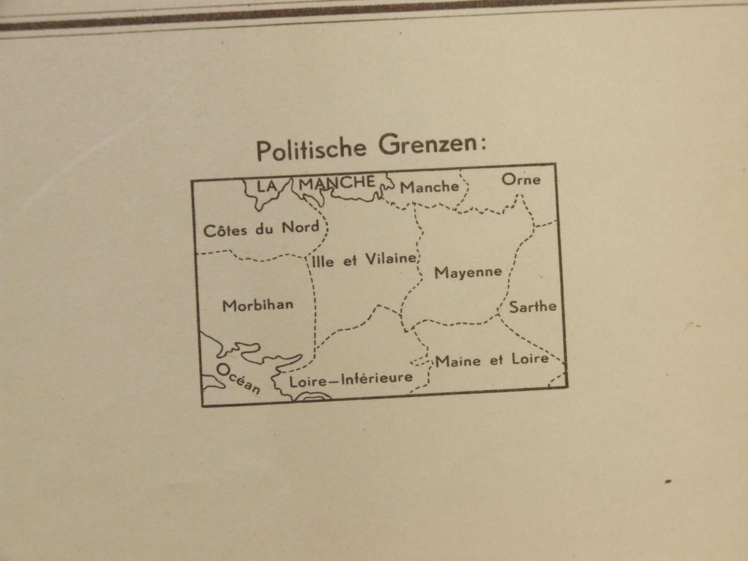
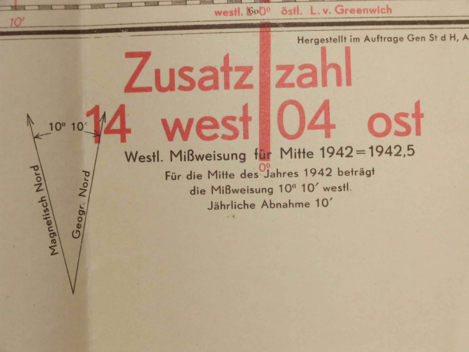
Published by the Luftwaffe general staff in 1942 the Map is in scale 1 -200,000 in a Mercator Projection and is in very good condition with just one small fold hole at the very centre of the Map and one 2.5cmtear along the fold at the border of the map on the left side. It covers a large area from St. Brieuc, St. Malo and Avaranches in the North to St.Nazaire in the South, the Bay of Quiberon in the West and Le Mans in the East.
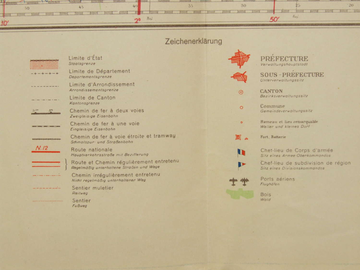
All ground features are shown along with airfields.
An excellent backdrop for a Luftwaffe display